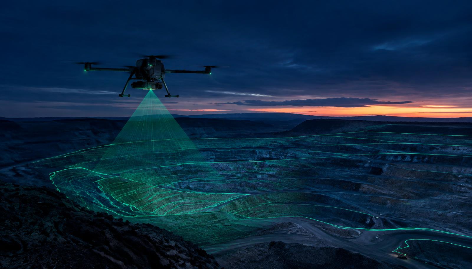
// 00 · from the air
Drone survey & inspection
Aerial Mapping
High-resolution orthomosaics and terrain models of sites of any size.
3D Site Capture
Drone photogrammetry turned into accurate, textured 3D environments.
Asset Inspection
Close-up imagery of structures, roofs and equipment without scaffolding.
Progress Monitoring
Repeat flights to track change over time on mines and job sites.